
Gonzagueville topographic map
Interactive map
Click on the map to display elevation.
About this map
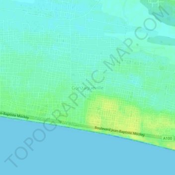
Name: Gonzagueville topographic map, elevation, terrain.
Location: Gonzagueville, Port-Bouët, Abidjan, Côte d'Ivoire (5.22803 -3.91585 5.26803 -3.87585)
Average elevation: 5 m
Minimum elevation: -1 m
Maximum elevation: 17 m