Forest of Arden topographic map
Interactive map
Click on the map to display elevation.
About this map
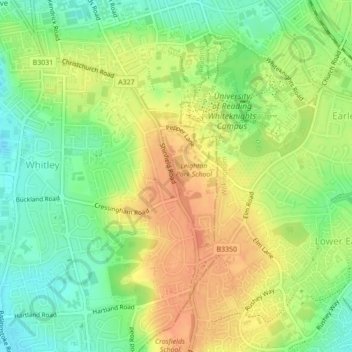
Name: Forest of Arden topographic map, elevation, terrain.
Location: Forest of Arden, Whitley, Reading, England, United Kingdom (51.43166 -0.95065 51.43912 -0.94546)
Average elevation: 64 m
Minimum elevation: 42 m
Maximum elevation: 85 m
Other topographic maps
Click on a map to view its topography, its elevation and its terrain.
Prospect Park
United Kingdom > England > Reading
Prospect Park, Southcote, Reading, England, RG30 2ND, United Kingdom
Average elevation: 56 m
View Island
United Kingdom > England > Reading
View Island, Reading Hydro, Caversham, Reading, England, United Kingdom
Average elevation: 45 m
Whiteknights Lake
United Kingdom > England > Reading
Whiteknights Lake, Whiteknights Road, Newtown, Reading, South East, England, RG6 7BY, United Kingdom
Average elevation: 61 m