
Tessand topographic map
Interactive map
Click on the map to display elevation.
About this map
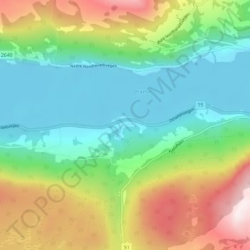
Name: Tessand topographic map, elevation, terrain.
Location: Tessand, Vågå, Oppland, Norway (61.82835 8.94325 61.86835 8.98325)
Average elevation: 590 m
Minimum elevation: 360 m
Maximum elevation: 1,045 m