
Province of Sechura topographic map
Interactive map
Click on the map to display elevation.
About this map
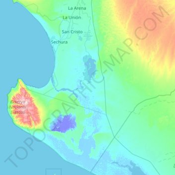
Name: Province of Sechura topographic map, elevation, terrain.
Location: Province of Sechura, Piura, Peru (-6.37209 -81.14956 -5.31105 -80.05298)
Average elevation: 48 m
Minimum elevation: -26 m
Maximum elevation: 458 m
Other topographic maps
Click on a map to view its topography, its elevation and its terrain.