
Ridderkerk topographic map
Interactive map
Click on the map to display elevation.
About this map
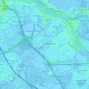
Name: Ridderkerk topographic map, elevation, terrain.
Location: Ridderkerk, Südholland, Niederlande (51.83873 4.54925 51.90303 4.64733)
Average elevation: 1 m
Minimum elevation: -6 m
Maximum elevation: 15 m