
Semaforo topographic map
Interactive map
Click on the map to display elevation.
About this map
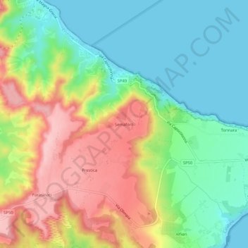
Name: Semaforo topographic map, elevation, terrain.
Location: Semaforo, Crotona, Crotone, Calabria, Italia (39.01087 17.13894 39.05087 17.17894)
Average elevation: 68 m
Minimum elevation: 0 m
Maximum elevation: 169 m
Other topographic maps
Click on a map to view its topography, its elevation and its terrain.