
Gills Green topographic map
Interactive map
Click on the map to display elevation.
About this map
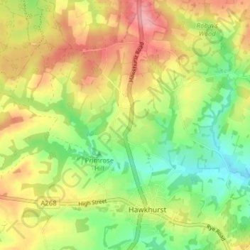
Name: Gills Green topographic map, elevation, terrain.
Location: Gills Green, Kent, South East, England, TN18 5EN, United Kingdom (51.04120 0.48529 51.08120 0.52529)
Average elevation: 74 m
Minimum elevation: 22 m
Maximum elevation: 131 m