
Urbana topographic map
Interactive map
Click on the map to display elevation.
About this map
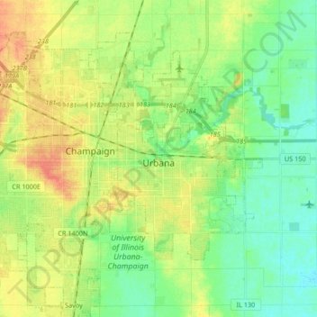
Name: Urbana topographic map, elevation, terrain.
Location: Urbana, Champaign County, Illinois, États-Unis d'Amérique (40.06955 -88.31862 40.15734 -88.15306)
Average elevation: 222 m
Minimum elevation: 205 m
Maximum elevation: 245 m
Other topographic maps
Click on a map to view its topography, its elevation and its terrain.
Urbana
États-Unis d'Amérique > Illinois > Champaign County > Urbana
Urbana, Champaign County, Illinois, 61801-9998, États-Unis d'Amérique
Average elevation: 217 m