
Haarle topographic map
Click on the map to display elevation.
About this map
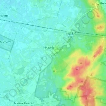
Name: Haarle topographic map, elevation, terrain.
Location: Haarle, Hellendoorn, Overijssel, Netherlands (52.31822 6.33350 52.39221 6.44263)
Average elevation: 19 m
Minimum elevation: 5 m
Maximum elevation: 70 m
Other topographic maps
Click on a map to view its topography, its elevation and its terrain.