
Te Araroa topographic map
Interactive map
Click on the map to display elevation.
About this map
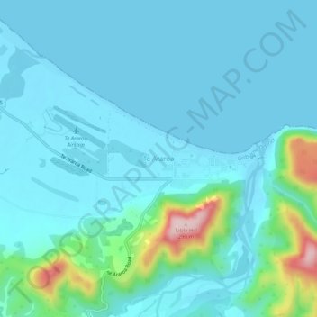
Name: Te Araroa topographic map, elevation, terrain.
Location: Te Araroa, Gisborne District, Gisborne, 4087, New Zealand (-37.65309 178.34102 -37.61309 178.38102)
Average elevation: 40 m
Minimum elevation: -1 m
Maximum elevation: 284 m