
Lango topographic map
Interactive map
Click on the map to display elevation.
About this map
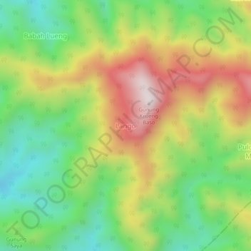
Name: Lango topographic map, elevation, terrain.
Location: Lango, Sungai Mas, Aceh Barat, Aceh, Sumatra, Indonésie (4.53527 96.42897 4.57527 96.46897)
Average elevation: 982 m
Minimum elevation: 654 m
Maximum elevation: 1,418 m