
La Vega topographic map
Interactive map
Click on the map to display elevation.
About this map
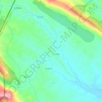
Name: La Vega topographic map, elevation, terrain.
Location: La Vega, Tierra de Badajoz, Badajoz, Extremadura, España (39.23168 -7.23828 39.27168 -7.19828)
Average elevation: 388 m
Minimum elevation: 319 m
Maximum elevation: 586 m