
Huaxian topographic map
Interactive map
Click on the map to display elevation.
About this map
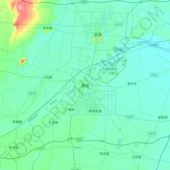
Name: Huaxian topographic map, elevation, terrain.
Location: Huaxian, Baidaokou, Hua County, Anyang City, Henan, China (35.41650 114.35847 35.73650 114.67847)
Average elevation: 64 m
Minimum elevation: 53 m
Maximum elevation: 133 m