
Pottsville topographic map
Interactive map
Click on the map to display elevation.
About this map
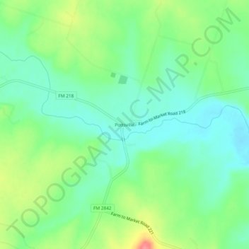
Name: Pottsville topographic map, elevation, terrain.
Location: Pottsville, Hamilton County, Texas, 76565, United States (31.65321 -98.34559 31.69321 -98.30559)
Average elevation: 418 m
Minimum elevation: 392 m
Maximum elevation: 470 m
Other topographic maps
Click on a map to view its topography, its elevation and its terrain.
Hico
United States > Texas > Hamilton County
Hico, Hamilton County, Texas, 76457, United States
Average elevation: 327 m