
Parc National de Tsavo Est topographic map
Interactive map
Click on the map to display elevation.
About this map
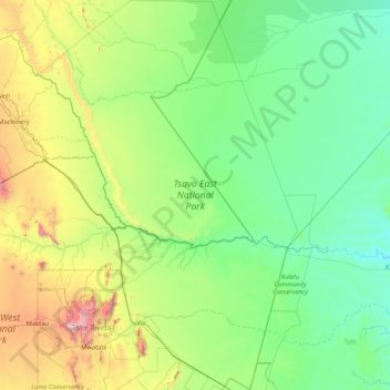
Name: Parc National de Tsavo Est topographic map, elevation, terrain.
Location: Parc National de Tsavo Est, East Kenya, Kenya (-3.68679 38.13524 -1.99659 39.26355)
Average elevation: 450 m
Minimum elevation: 74 m
Maximum elevation: 2,178 m