
Neerwinden topographic map
Interactive map
Click on the map to display elevation.
About this map
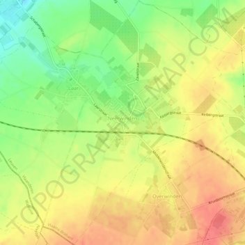
Name: Neerwinden topographic map, elevation, terrain.
Location: Neerwinden, Landen, Leuven, Flemish Brabant, Flanders, Belgium (50.74827 5.01945 50.78199 5.05961)
Average elevation: 71 m
Minimum elevation: 37 m
Maximum elevation: 97 m