Geolocate

Sapulut topographic map

Click on the map to display elevation.

About this map

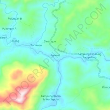
Name: Sapulut topographic map, elevation, terrain.

Location: Sapulut, Nabawan, Interior Division, Sabah, Malaysia (4.68537 116.46078 4.72537 116.50078)

Average elevation: 391 m

Minimum elevation: 249 m

Maximum elevation: 799 m

Gear up for your next adventure:

🔪Outdoor Multi-Tools - Versatile tools for gear repairs and food prep in the wild
📱Phone Mounts for Hiking - Secure mounts to carry your phone on trails
🥾Women's Waterproof Hiking Boots - High-performance trekking boots designed for all-weather comfort
🧥Packable Down Jackets - Lightweight warmth that compresses small in your bag
❄️Walking Crampons - Added traction for icy slopes and winter peak bagging

As an Amazon Associate, this site earns from qualifying purchases at no extra cost to you.