
Al-Qadarif topographic map
Interactive map
Click on the map to display elevation.
About this map
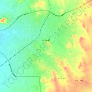
Name: Al-Qadarif topographic map, elevation, terrain.
Location: Al-Qadarif, Gedarif State, Sudan (13.99313 35.32910 14.07475 35.43477)
Average elevation: 617 m
Minimum elevation: 577 m
Maximum elevation: 688 m