
Tenejero topographic map
Interactive map
Click on the map to display elevation.
About this map
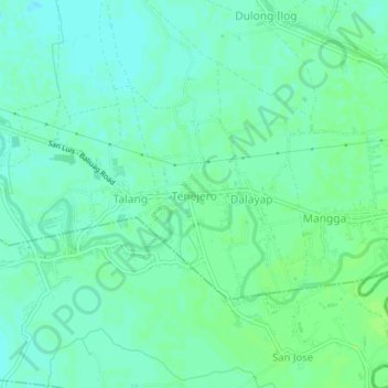
Name: Tenejero topographic map, elevation, terrain.
Average elevation: 9 m
Minimum elevation: 4 m
Maximum elevation: 13 m
Other topographic maps
Click on a map to view its topography, its elevation and its terrain.
Gulap
Philippines > Pampanga > Candaba
Gulap, Candaba, Pampanga, Central Luzon, Philippines
Average elevation: 7 m
Lourdes
Philippines > Pampanga > Candaba
Lourdes, Candaba, Pampanga, Central Luzon, Philippines
Average elevation: 10 m
Lanang
Philippines > Pampanga > Candaba
Lanang, Candaba, Pampanga, Central Luzon, 2013, Philippines
Average elevation: 7 m
Pasig
Philippines > Pampanga > Candaba > Pasig
Pasig, Candaba, Pampanga, Central Luzon, 2013, Philippines
Average elevation: 6 m