
Manjari topographic map
Interactive map
Click on the map to display elevation.
About this map
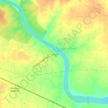
Name: Manjari topographic map, elevation, terrain.
Location: Manjari, Haveli, Maharashtra, 412307, India (18.50362 73.96717 18.54362 74.00717)
Average elevation: 548 m
Minimum elevation: 524 m
Maximum elevation: 564 m
Other topographic maps
Click on a map to view its topography, its elevation and its terrain.