
Grüneck topographic map
Interactive map
Click on the map to display elevation.
About this map
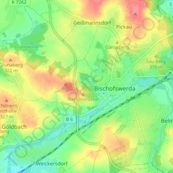
Name: Grüneck topographic map, elevation, terrain.
Location: Grüneck, Bischofswerda, Bautzen, Sachsen, 01877, Deutschland (51.10820 14.14919 51.14820 14.18919)
Average elevation: 302 m
Minimum elevation: 271 m
Maximum elevation: 341 m