
Gesotz topographic map
Interactive map
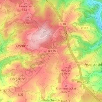
Click on the map to display elevation.
About this map
Name: Gesotz topographic map, elevation, terrain.
Average elevation: 499 m
Minimum elevation: 358 m
Maximum elevation: 591 m
Sehenswert ist in Gesotz eine ca. 200 Jahre alte Roteiche mit einer Höhe von rund 20 m. Der Baum gehört als Naturdenkmal zur Ortsgemeinde Lascheid.