
湿地 topographic map
Interactive map
Click on the map to display elevation.
About this map
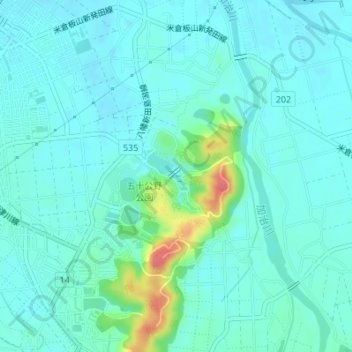
Name: 湿地 topographic map, elevation, terrain.
Location: 湿地, 金谷, 新發田市, 新潟县, 中部地方, 日本 (37.93849 139.35903 37.94032 139.36111)
Average elevation: 20 m
Minimum elevation: 8 m
Maximum elevation: 72 m