
Akole topographic map
Interactive map
Click on the map to display elevation.
About this map
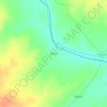
Name: Akole topographic map, elevation, terrain.
Location: Akole, Solapur South, Solapur, Maharashtra, India (17.57456 75.76102 17.61456 75.80102)
Average elevation: 444 m
Minimum elevation: 425 m
Maximum elevation: 467 m
Other topographic maps
Click on a map to view its topography, its elevation and its terrain.
Dhotri
India > Maharashtra > Solapur South
Dhotri, Solapur South, Solapur District, Maharashtra, India
Average elevation: 510 m