
Queromarca Urpaya topographic map
Interactive map
Click on the map to display elevation.
About this map
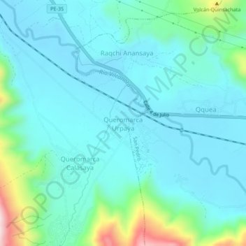
Name: Queromarca Urpaya topographic map, elevation, terrain.
Location: Queromarca Urpaya, Tinta, Province of Canchis, Cusco, Peru (-14.20512 -71.39160 -14.16512 -71.35160)
Average elevation: 3,545 m
Minimum elevation: 3,469 m
Maximum elevation: 3,908 m