
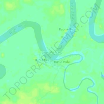
Ujung Pandang topographic map
Interactive map
Click on the map to display elevation.
About this map
Name: Ujung Pandang topographic map, elevation, terrain.
Average elevation: 26 m
Minimum elevation: 19 m
Maximum elevation: 31 m
Other topographic maps
Click on a map to view its topography, its elevation and its terrain.
Badau
Indonesia > West Kalimantan > Kapuas Hulu
This district generally has a mountainous and hilly topography, with dense tropical forests. The climate conditions in Badau are generally tropical with quite high rainfall throughout the year, which supports the lush forest vegetation in the area. This district is crossed by several rivers including the Badau…
Average elevation: 61 m