
Eagleton topographic map
Interactive map
Click on the map to display elevation.
About this map
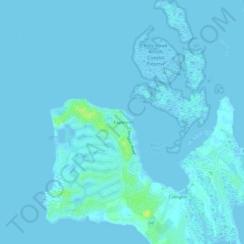
Name: Eagleton topographic map, elevation, terrain.
Location: Eagleton, Dare County, North Carolina, 27948, United States (36.00017 -75.73296 36.04017 -75.69296)
Average elevation: 1 m
Minimum elevation: -4 m
Maximum elevation: 15 m