
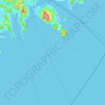
Yeongdo-gu topographic map
Interactive map
Click on the map to display elevation.
About this map
Name: Yeongdo-gu topographic map, elevation, terrain.
Location: Yeongdo-gu, Busan, South Korea (34.94944 129.02808 35.10532 129.17411)
Average elevation: 9 m
Minimum elevation: -4 m
Maximum elevation: 360 m