
Bousekene topographic map
Interactive map
Click on the map to display elevation.
About this map
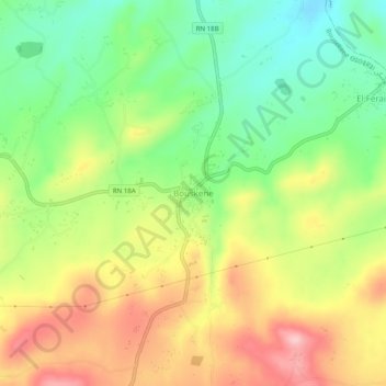
Name: Bousekene topographic map, elevation, terrain.
Location: Bousekene, Béni Slimane District, Médéa, Algeria (36.17114 3.21654 36.21114 3.25654)
Average elevation: 733 m
Minimum elevation: 650 m
Maximum elevation: 831 m