
Mantua topographic map
Interactive map
Click on the map to display elevation.
About this map
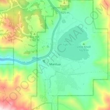
Name: Mantua topographic map, elevation, terrain.
Location: Mantua, Box Elder County, Utah, 84324, USA (41.47491 -111.95835 41.52500 -111.91177)
Average elevation: 1,713 m
Minimum elevation: 1,467 m
Maximum elevation: 2,256 m