
东胜村 topographic map
Interactive map
Click on the map to display elevation.
About this map
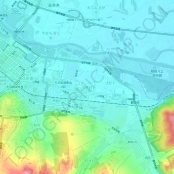
Name: 东胜村 topographic map, elevation, terrain.
Location: 东胜村, 鸡冠区, 鸡西市, 黑龙江省, 158100, 中国 (45.27357 130.98669 45.31357 131.02669)
Average elevation: 201 m
Minimum elevation: 179 m
Maximum elevation: 283 m
Other topographic maps
Click on a map to view its topography, its elevation and its terrain.