
Peringat topographic map
Interactive map
Click on the map to display elevation.
About this map
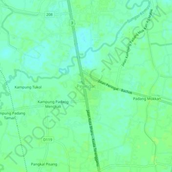
Name: Peringat topographic map, elevation, terrain.
Location: Peringat, Kota Bharu, Kelantan, 16400, Malaysia (6.00255 102.26674 6.04255 102.30674)
Average elevation: 10 m
Minimum elevation: 4 m
Maximum elevation: 13 m