
Feria topographic map
Interactive map
Click on the map to display elevation.
About this map
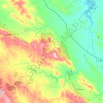
Name: Feria topographic map, elevation, terrain.
Location: Feria, Zafra - Río Bodión, Badajoz, Extremadura, España (38.43598 -6.60571 38.56313 -6.49915)
Average elevation: 490 m
Minimum elevation: 303 m
Maximum elevation: 800 m