
Rosenfeld topographic map
Interactive map
Click on the map to display elevation.
About this map
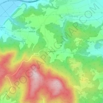
Name: Rosenfeld topographic map, elevation, terrain.
Location: Rosenfeld, Melk, Bezirk Melk, Lower Austria, 3390, Austria (48.17430 15.30164 48.21430 15.34164)
Average elevation: 353 m
Minimum elevation: 210 m
Maximum elevation: 561 m