
Burr Oak topographic map
Interactive map
Click on the map to display elevation.
About this map
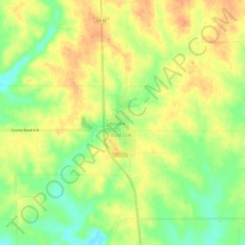
Name: Burr Oak topographic map, elevation, terrain.
Location: Burr Oak, Winneshiek County, Iowa, United States of America (43.43886 -91.88543 43.47886 -91.84543)
Average elevation: 384 m
Minimum elevation: 359 m
Maximum elevation: 401 m