
Wiston topographic map
Interactive map
Click on the map to display elevation.
About this map
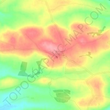
Name: Wiston topographic map, elevation, terrain.
Location: Wiston, Pembrokeshire, Wales, SA62 4PL, United Kingdom (51.80602 -4.89253 51.84602 -4.85253)
Average elevation: 73 m
Minimum elevation: 22 m
Maximum elevation: 122 m