
Stacy topographic map
Interactive map
Click on the map to display elevation.
About this map
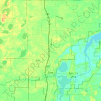
Name: Stacy topographic map, elevation, terrain.
Location: Stacy, Chisago County, Minnesota, États-Unis (45.36892 -93.01979 45.40418 -92.97668)
Average elevation: 272 m
Minimum elevation: 263 m
Maximum elevation: 281 m