
2000 msnm topographic map
Interactive map
Click on the map to display elevation.
About this map
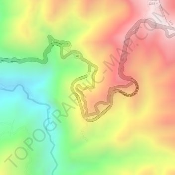
Name: 2000 msnm topographic map, elevation, terrain.
Location: 2000 msnm, 40, Calarcá, Quindío, 632001, Colombia (4.52138 -75.60838 4.52148 -75.60828)
Average elevation: 1,939 m
Minimum elevation: 1,539 m
Maximum elevation: 2,298 m
Other topographic maps
Click on a map to view its topography, its elevation and its terrain.