
Nyabitete topographic map
Interactive map
Click on the map to display elevation.
About this map
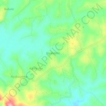
Name: Nyabitete topographic map, elevation, terrain.
Location: Nyabitete, Rukungiri, Western Region, Uganda (-0.87000 29.89667 -0.83000 29.93667)
Average elevation: 1,555 m
Minimum elevation: 1,503 m
Maximum elevation: 1,665 m