
Vange topographic map
Interactive map
Click on the map to display elevation.
About this map
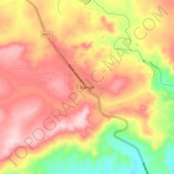
Name: Vange topographic map, elevation, terrain.
Location: Vange, Ombella-M'Poko, Central African Republic (4.83902 17.96060 4.91902 18.04060)
Average elevation: 597 m
Minimum elevation: 425 m
Maximum elevation: 719 m