
Bisora topographic map
Interactive map
Click on the map to display elevation.
About this map
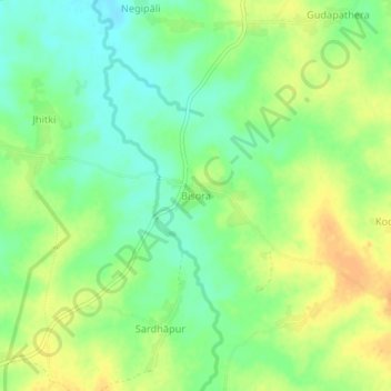
Name: Bisora topographic map, elevation, terrain.
Location: Bisora, Jonk, Nuapada District, Odisha, India (20.96458 82.60486 21.00458 82.64486)
Average elevation: 309 m
Minimum elevation: 294 m
Maximum elevation: 324 m
Other topographic maps
Click on a map to view its topography, its elevation and its terrain.