
La Caya topographic map
Interactive map
Click on the map to display elevation.
About this map
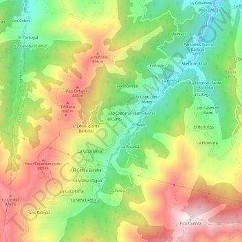
Name: La Caya topographic map, elevation, terrain.
Location: La Caya, Asturias, 33988, España (43.23115 -5.64827 43.27115 -5.60827)
Average elevation: 607 m
Minimum elevation: 262 m
Maximum elevation: 1,012 m