
Salga topographic map
Interactive map
Click on the map to display elevation.
About this map
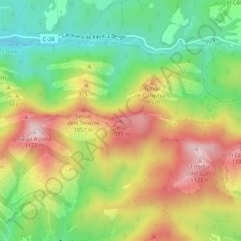
Name: Salga topographic map, elevation, terrain.
Location: Salga, la Quar, Berguedà, Barcelona, Catalunha, Espanha (42.12049 1.96438 42.12059 1.96448)
Average elevation: 875 m
Minimum elevation: 655 m
Maximum elevation: 1,140 m