
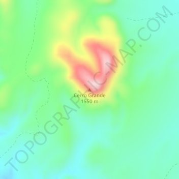
Cerro Grande topographic map
Interactive map
Click on the map to display elevation.
About this map
Name: Cerro Grande topographic map, elevation, terrain.
Location: Cerro Grande, La Cruz, Chihuahua, Mexico (27.88588 -105.11181 27.88598 -105.11171)
Average elevation: 1,379 m
Minimum elevation: 1,300 m
Maximum elevation: 1,564 m
Other topographic maps
Click on a map to view its topography, its elevation and its terrain.