
Kottayi topographic map
Interactive map
Click on the map to display elevation.
About this map
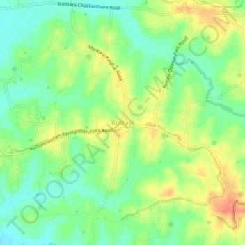
Name: Kottayi topographic map, elevation, terrain.
Location: Kottayi, Alathur, Palakkad district, Kerala, 678572, India (10.74127 76.52307 10.78127 76.56307)
Average elevation: 70 m
Minimum elevation: 48 m
Maximum elevation: 96 m