Geolocate

Burrum Heads topographic map

Click on the map to display elevation.

About this map

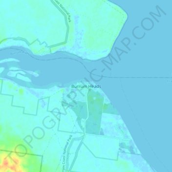
Name: Burrum Heads topographic map, elevation, terrain.

Location: Burrum Heads, Queensland, Australia (-25.22552 152.57158 -25.14552 152.65158)

Average elevation: 3 m

Minimum elevation: -3 m

Maximum elevation: 37 m

Gear up for your next adventure:

🔦Keychain LED Torches - Emergency backup light for finding gear in your pack
📍Handheld GPS Navigators - Reliable satellite navigation for hiking and off-road exploration
🧥Packable Down Jackets - Lightweight warmth that compresses small in your bag
🥾Women's Waterproof Hiking Boots - High-performance trekking boots designed for all-weather comfort
🥾Hiking Boot Waterproofing Wax - Maintain the lifespan of your leather trekking boots

As an Amazon Associate, this site earns from qualifying purchases at no extra cost to you.