
Sankury topographic map
Interactive map
Click on the map to display elevation.
About this map
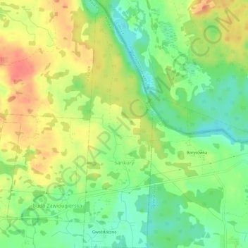
Name: Sankury topographic map, elevation, terrain.
Location: Sankury, gmina Puńsk, powiat sejneński, Podlachie, Pologne (54.21562 23.34378 54.24667 23.35922)
Average elevation: 165 m
Minimum elevation: 138 m
Maximum elevation: 193 m