
Tiger Lake WMA, Hansen, Sperl & Stancer Tracts topographic map
Interactive map
Click on the map to display elevation.
About this map
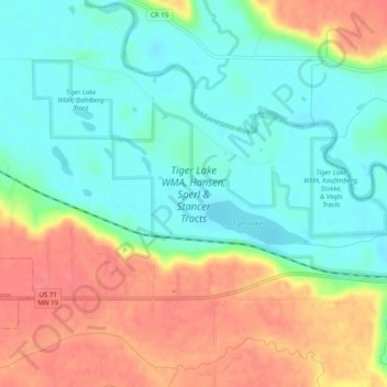
Name: Tiger Lake WMA, Hansen, Sperl & Stancer Tracts topographic map, elevation, terrain.
Average elevation: 275 m
Minimum elevation: 248 m
Maximum elevation: 314 m
Other topographic maps
Click on a map to view its topography, its elevation and its terrain.
Redwood Falls
United States > Minnesota > Redwood County
Redwood Falls, Redwood County, Minnesota, 56283, United States
Average elevation: 303 m
Tiger Lake WMA, Kaufenberg, Stokke, & Vagts Tracts
United States > Minnesota > Redwood County
Tiger Lake WMA, Kaufenberg, Stokke, & Vagts Tracts, US 71;MN 19, Redwood County, Minnesota, 56270, United States
Average elevation: 267 m
Milroy
United States > Minnesota > Redwood County
Milroy, Redwood County, Minnesota, United States
Average elevation: 337 m