
El Chasco topographic map
Interactive map
Click on the map to display elevation.
About this map
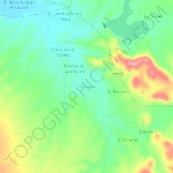
Name: El Chasco topographic map, elevation, terrain.
Location: El Chasco, Magdalena, Sonora, Mexique (30.54817 -110.92083 30.58817 -110.88083)
Average elevation: 839 m
Minimum elevation: 790 m
Maximum elevation: 927 m