
新島 topographic map
Interactive map
Click on the map to display elevation.
About this map
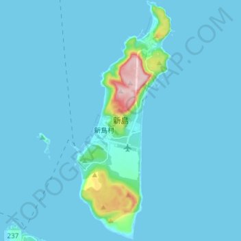
Name: 新島 topographic map, elevation, terrain.
Location: 新島, 新島村, 大島支庁, Tokio, Kantō, Japan (34.32994 139.23950 34.43163 139.29233)
Average elevation: 25 m
Minimum elevation: -2 m
Maximum elevation: 418 m